A week ago, my friend Melissa and I went down to Luray to go tubing on the Shenandoah River. This was the same place I went in 2009 with my coworkers, documented in the Tubing the Shenandoah River set in Life and Times. This time, it was just the two of us, and we had a blast.
It was apparently a slow day at Shenandoah River Outfitters, as there were only nine people going tubing. There was a group of five girls, then there was Melissa and me, and then another two people. But then again, June 2 is fairly early in the season, so it’s okay. It wasn’t amazingly hot out, and the day was mostly overcast. That made the water feel a little cold getting in, but that cold feeling only lasted a few minutes, until we got used to the temperature.
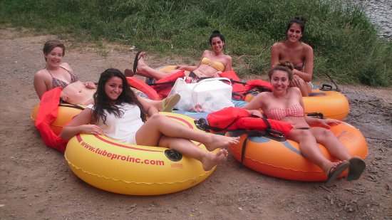
Once we got over to the dropoff site at mile 16, we got photos. First, the group of five wanted us to get photos of them with their phone. Once we got that, we got the same shot with my camera, Duckie:
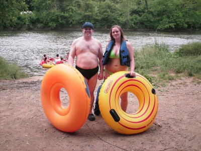
And then we got a photo of us:
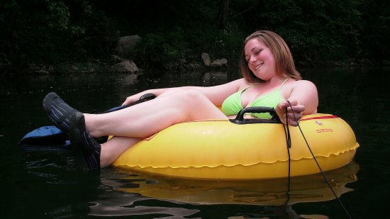
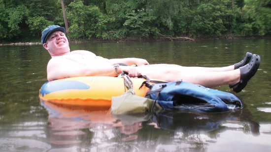
And then it was time to go in. And it was definitely a fun and relaxing time. We basically got in and chilled out, riding where the river took us, with the occasional course adjustment to keep us somewhat near the center of the channel. But more or less, this was how we looked during our run:
Hitting our first set of (very minor) rapids:
And no, I’ve never been known to react quietly to surprises. And then here is one of the aforementioned moo cows:
Continuing down the river, I also rode a little lower in the tube than seen earlier, though I didn’t change positions as gracefully as I would have liked. Let’s just put it this way: there’s probably no completely graceful way to do it, but this was one of the less-graceful ways to do it. See, this is not how to do it:
Don’t lean way out like this. I quickly then fell forward.
Splash. Note lack of hat in this photo.
That meant that I had to recover the hat and put that thing back on. And it was full of water.
After that, though, good to go again.
And we continued. One feature that we saw around this point was a large “X” in the rock on one side of the river:
I questioned whether it was natural or manmade. I could go either way on it.
Later, we happened on a knotted rope tied to a tree, which I remembered from the 2009 trip (I got photos of a coworker on it). When we arrived, the group of five women was using it:
And then we took a spin on it:
Not bad. We also each posed with the rope:
And then we were on our way again. The next thing on the river was the biggest rapids. Recall that in 2009, the driver of the bus recommended that we float through feet first if we lost our tube in said rapids. We didn’t lose our tubes, but it was still an interesting ride. I filmed it:
Quite a ride! And then this is Melissa after making it through:
After the rapids, 2009 really started to repeat itself. Remember how a storm came up on the river in 2009, and it rained on us and all that? This time made me question if the storm wasn’t planned or something. It also stormed on Melissa and me in 2013. Same exact spot, too. It got cloudier, windier, and colder, it started to thunder, and then it rained.
If it tells you anything about how the weather changed during this part of the river, initially, the water was cooler than the air. By this point, the air was colder, and getting out of the tube and into the water was warmer than staying on top of the tube in the air.
And then the rest of the ride was uneventful, and we soon reached milepost 19, which was the end of the course. We ended up riding back on Snapper:
And as it would turn out, we got off the river just in time. It really started to pour on the way back to the parking area. But our driver was unfazed, driving Snapper down this little mountain road with all nine tubers plus the tubes. Not bad. This is also where we realized that Snapper was definitely an old bus, because he had to manually defrost the window a few times, as in wipe the fog off with his hand. But we made it back, and were ready to go.
And for proof of a good time, this is how shriveled my hands were at the end of it:
My hands after a few hours in the water. Melissa’s hands pruned, too, but not nearly as much as mine did.
And then we were off! Due to the storm, we ended up taking US 340 (yes the same 340 that goes through Stuarts Draft) up to Front Royal and then taking I-66 from there. I didn’t really want to go over the mountain at Thornton Gap in that sort of weather, and Melissa agreed. After all, Afton Mountain in the fog is bad enough, and that’s fairly straight. The approach to Thornton Gap is very twisty and curvy. That was not my idea of fun. That took us through a town with a name I wasn’t expecting: Bentonville. The last time I was in a town called Bentonville was in 1992 in Arkansas. This is no Bentonville, Arkansas. Nothing to see here. Still, the name amused me. The Soul also turned its fair share of wildlife into roadkill on this trip. We hit a low-flying bird in Luray on the way in, and then we crushed a chipmunk near Bentonville on the way back. Poor animals.
In Front Royal, we saw this sign, which was a bit of a surprise:
I wouldn’t have thought that would be a selling point. But there you go, I suppose.
Then from there, we had dinner in Manassas, and then it was back to our respective homes from there. Not a bad time by any means.


