A few flights over Pennsylvania…
5 minute read
December 31, 2021, 11:13 PM
Just before Christmas, Elyse, Evan Stone, and I made a day trip up to Pennsylvania. The goal was to visit the Lancaster area. Elyse left the house ahead of us and flew up to Lancaster via Southern Airways Express, while Evan and I went up by car and met up with her in Lancaster. On the way up, Evan and I took our respective drones for a spin over Hanover, the Susquehanna River, and Lititz. I have my DJI Air 2S, while Evan has the original DJI Mavic Pro.
The first flight was over downtown Hanover, and it was a solo flight for me. Evan saw a building where he wanted to know what the elevator was, and I entertained myself with a drone flight.
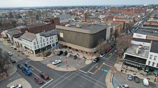
The building in the center of this photograph is the building that Evan found interesting, that he went to check out. I don’t recognize the logo on the building, though. Anyone recognize it?
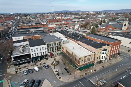
Across the street from the unusual looking building.
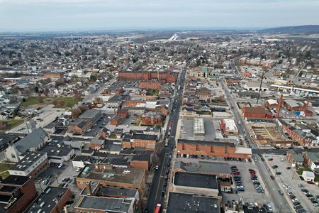
View from the center of downtown Hanover, facing approximately northwest. Carlisle Street runs through the middle of the photo.
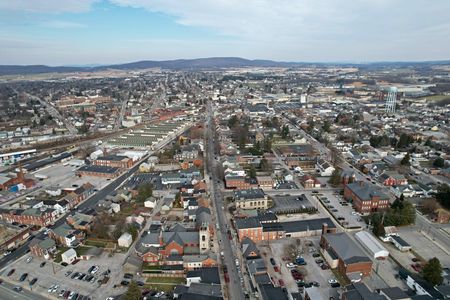
View from the center of downtown Hanover, facing approximately northeast. Broadway runs through the middle of the photo.
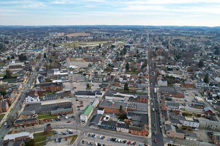
View from the center of downtown Hanover, facing approximately southeast. Baltimore Street is the dark-colored road to the right.
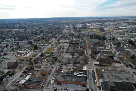
View down Frederick Street, facing southwest.
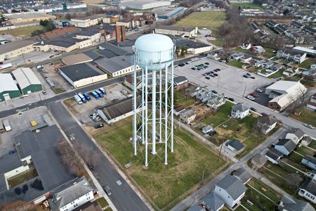
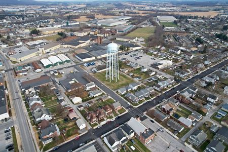
Water tower at approximately Fulton Street and Terrace Avenue, to the northeast of my location.
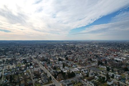
Sky over Hanover, while flying back from the water tower.
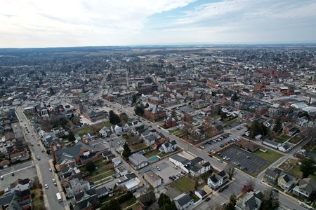
Another view of downtown Hanover while flying back from the water tower.
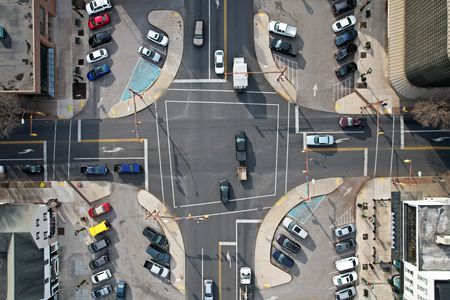
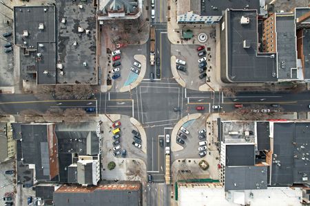
Intersection at the center of downtown Hanover. According to Reddit, this intersection was a traffic circle a long time ago, and was converted to a regular intersection at some point. I can see that there is enough space for a different traffic pattern here, with the small parking lots in the corners’ likely being part of the former traffic circle. I have no idea why it was converted. Anyone know?
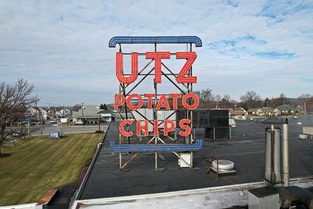
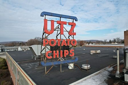
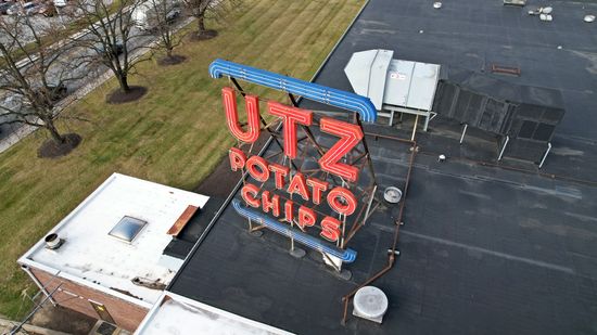
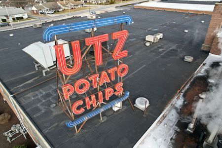
Finishing up there, we headed up to the Utz Factory Outlet Store. Here, Evan and I took turns flying around the neon sign. Here are my photos:
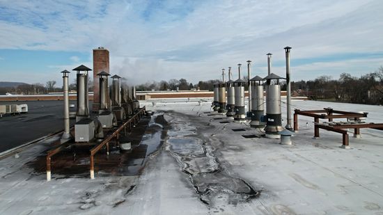
I also got a photo of some of the ventilation pipes on the roof near the sign:
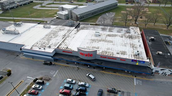
Then while Evan was flying the sign, I scooted across the street and got an overhead shot of a nearby Weis grocery store:
From there, we were done in Hanover, and so we continued on. By this point, Elyse had made it to her destination, i.e. she was on the ground at Lancaster airport, and was encouraging us to hurry up. It was not my intent to still be in Hanover when she landed, but (A) I misunderstood what time her flight was, and (B) we encountered heavy traffic in Westminster and Hanover.
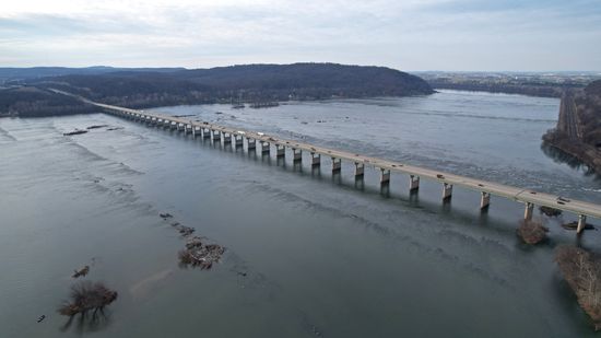
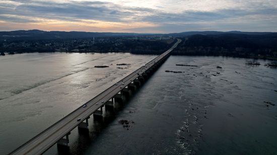
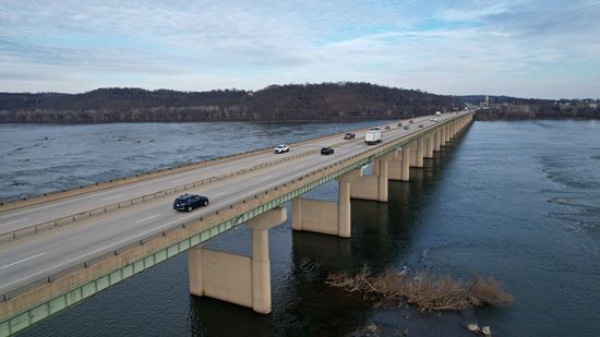
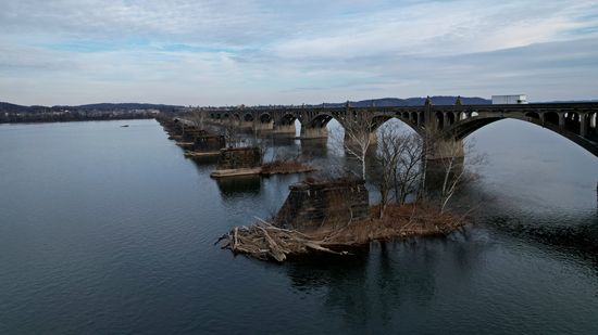
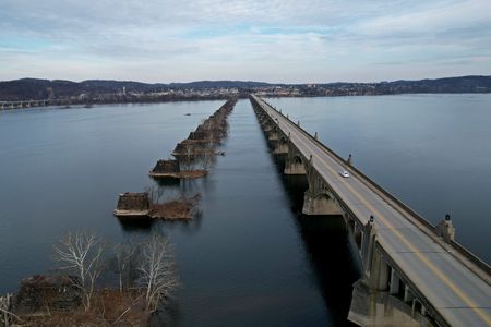
Our next stop was in Columbia, where we flew around two bridges across the Susquehanna River. One bridge, the Wright’s Ferry Bridge, carried US 30 over the river, while another bridge, the Veterans Memorial Bridge, carried Pennsylvania Route 462 over the river. We coordinated our movements here in order to avoid a collision, so I started on the Wright’s Ferry Bridge, while Evan started on the Veterans Memorial Bridge. Then when we were both finished with our first bridge, we switched sides, with my crossing nearer to the Wrightsville shore, and Evan’s crossing over nearer the Columbia shore.
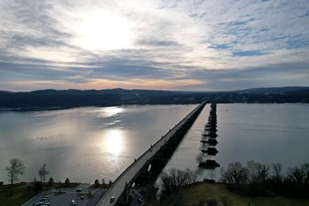
View just after takeoff, showing the Veterans Memorial Bridge.
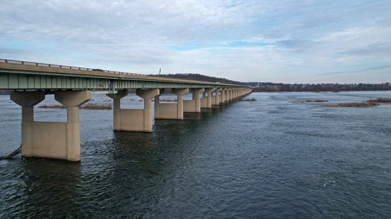
The Wright’s Ferry Bridge, carrying US 30 over the Susquehanna River.
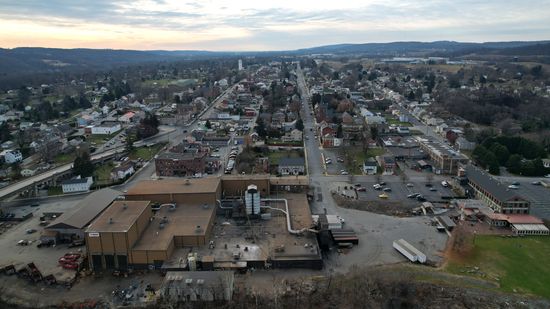
Wrightsville, the town on the western shore of the Susquehanna River.
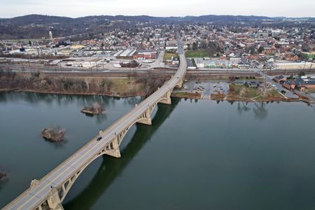
The Veterans Memorial Bridge, with the piers of a former bridge adjacent to it.
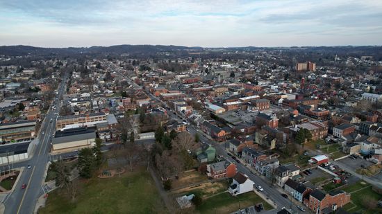
View of Columbia, just before landing.
From here, we packed up our drones and headed up to the airport to get Elyse. After we got her, we headed up into downtown Lititz. Elyse had a goal to meet there, to see a vintage toilet at a bar up there. While she did that, I did a quick up-and-down over Lititz:
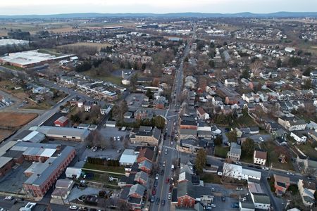
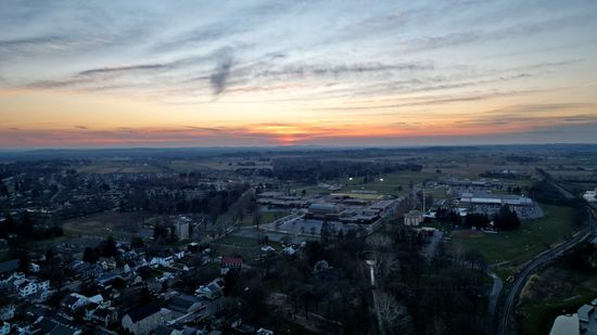
View facing north in Lititz. North Broad Street is visible in the center of the photo.
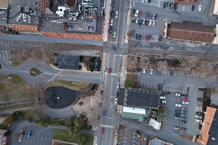
View looking straight down. If you look carefully, you can see Elyse, Evan, and me on a strip of pavement just below the railroad tracks.
That was the end of the drone for this particular trip, since I was out of sunlight. So everyone packed up their drones, and that was that. The rest of the time in the area was spent exploring around Lancaster, including driving through the downtown area with an eye towards future photo shoots, and being quite surprised to find that the local prison has medieval-style architecture. Overall, this was my second time in the Lancaster area, and it definitely seems like a place that I need to photograph in more detail.
Categories: Hanover, Pennsylvania, Photography
